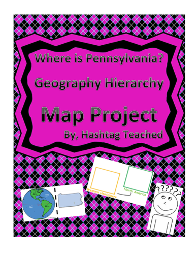
This worksheet allows students to cut out the bottom portion with the four images of Pennsylvania, Unites States, North America, and the Western Hemisphere and see the relationship between them. Students will then glue each image in the spaces provided on top. This easy and fun worksheet allows students to connect difficult concepts in a visual hands-on way. It can be easily adapted as independent work, a hook, group work or homework. Students will enjoy engage with this interactive project and will build conceptual understanding of geography while doing so!
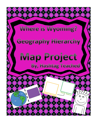
This worksheet allows students to cut out the bottom portion with the four images of Wyoming, Unites States, North America, and the Western Hemisphere and see the relationship between them. Students will then glue each image in the spaces provided on top. This easy and fun worksheet allows students to connect difficult concepts in a visual hands-on way. It can be easily adapted as independent work, a hook, group work or homework. Students will enjoy engage with this interactive project and will build conceptual understanding of geography while doing so!
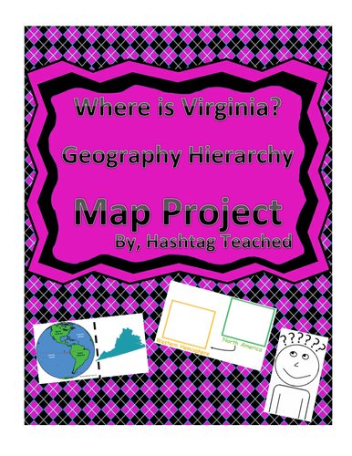
This worksheet allows students to cut out the bottom portion with the four images of Virginia, Unites States, North America, and the Western Hemisphere and see the relationship between them. Students will then glue each image in the spaces provided on top. This easy and fun worksheet allows students to connect difficult concepts in a visual hands-on way. It can be easily adapted as independent work, a hook, group work or homework. Students will enjoy engage with this interactive project and will build conceptual understanding of geography while doing so!
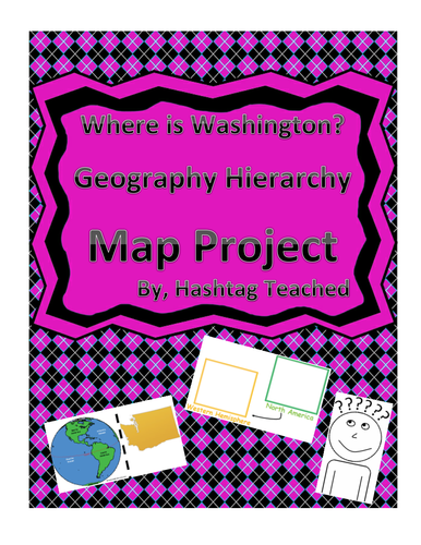
This worksheet allows students to cut out the bottom portion with the four images of Washington, Unites States, North America, and the Western Hemisphere and see the relationship between them. Students will then glue each image in the spaces provided on top. This easy and fun worksheet allows students to connect difficult concepts in a visual hands-on way. It can be easily adapted as independent work, a hook, group work or homework. Students will enjoy engage with this interactive project and will build conceptual understanding of geography while doing so!
This worksheet allows students to cut out the bottom portion with the four images of Wisconsin, Unites States, North America, and the Western Hemisphere and see the relationship between them. Students will then glue each image in the spaces provided on top. This easy and fun worksheet allows students to connect difficult concepts in a visual hands-on way. It can be easily adapted as independent work, a hook, group work or homework. Students will enjoy engage with this interactive project and will build conceptual understanding of geography while doing so!
This worksheet allows students to cut out the bottom portion with the four images of West Virginia, Unites States, North America, and the Western Hemisphere and see the relationship between them. Students will then glue each image in the spaces provided on top. This easy and fun worksheet allows students to connect difficult concepts in a visual hands-on way. It can be easily adapted as independent work, a hook, group work or homework. Students will enjoy engage with this interactive project and will build conceptual understanding of geography while doing so!
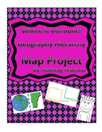
This worksheet allows students to cut out the bottom portion with the four images of Vermont, Unites States, North America, and the Western Hemisphere and see the relationship between them. Students will then glue each image in the spaces provided on top. This easy and fun worksheet allows students to connect difficult concepts in a visual hands-on way. It can be easily adapted as independent work, a hook, group work or homework. Students will enjoy engage with this interactive project and will build conceptual understanding of geography while doing so!
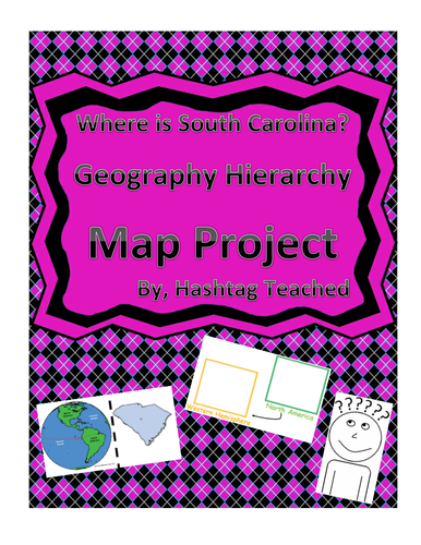
This worksheet allows students to cut out the bottom portion with the four images of South Carolina, Unites States, North America, and the Western Hemisphere and see the relationship between them. Students will then glue each image in the spaces provided on top. This easy and fun worksheet allows students to connect difficult concepts in a visual hands-on way. It can be easily adapted as independent work, a hook, group work or homework. Students will enjoy engage with this interactive project and will build conceptual understanding of geography while doing so!
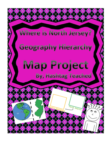
This worksheet allows students to cut out the bottom portion with the four images of New Jersey, Unites States, North America, and the Western Hemisphere and see the relationship between them. Students will then glue each image in the spaces provided on top. This easy and fun worksheet allows students to connect difficult concepts in a visual hands-on way. It can be easily adapted as independent work, a hook, group work or homework. Students will enjoy engage with this interactive project and will build conceptual understanding of geography while doing so!
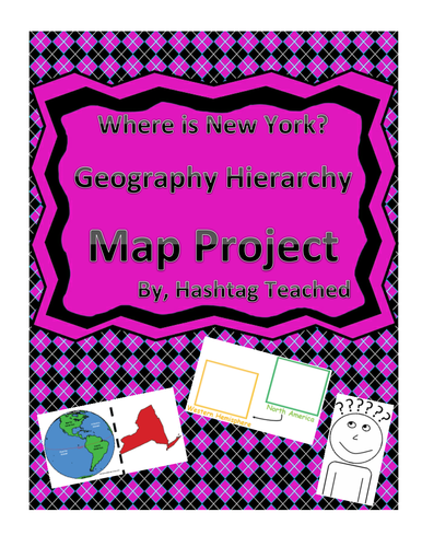
This worksheet allows students to cut out the bottom portion with the four images of New York, Unites States, North America, and the Western Hemisphere and see the relationship between them. Students will then glue each image in the spaces provided on top. This easy and fun worksheet allows students to connect difficult concepts in a visual hands-on way. It can be easily adapted as independent work, a hook, group work or homework. Students will enjoy engage with this interactive project and will build conceptual understanding of geography while doing so!
This worksheet allows students to cut out the bottom portion with the four images of North Carolina, Unites States, North America, and the Western Hemisphere and see the relationship between them. Students will then glue each image in the spaces provided on top. This easy and fun worksheet allows students to connect difficult concepts in a visual hands-on way. It can be easily adapted as independent work, a hook, group work or homework. Students will enjoy engage with this interactive project and will build conceptual understanding of geography while doing so!
This worksheet allows students to cut out the bottom portion with the four images of New Hampshire, Unites States, North America, and the Western Hemisphere and see the relationship between them. Students will then glue each image in the spaces provided on top. This easy and fun worksheet allows students to connect difficult concepts in a visual hands-on way. It can be easily adapted as independent work, a hook, group work or homework. Students will enjoy engage with this interactive project and will build conceptual understanding of geography while doing so!
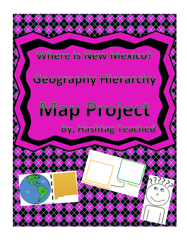
This worksheet allows students to cut out the bottom portion with the four images of New Mexico, Unites States, North America, and the Western Hemisphere and see the relationship between them. Students will then glue each image in the spaces provided on top. This easy and fun worksheet allows students to connect difficult concepts in a visual hands-on way. It can be easily adapted as independent work, a hook, group work or homework. Students will enjoy engage with this interactive project and will build conceptual understanding of geography while doing so!
This worksheet allows students to cut out the bottom portion with the four images of Nevada, Unites States, North America, and the Western Hemisphere and see the relationship between them. Students will then glue each image in the spaces provided on top. This easy and fun worksheet allows students to connect difficult concepts in a visual hands-on way. It can be easily adapted as independent work, a hook, group work or homework. Students will enjoy engage with this interactive project and will build conceptual understanding of geography while doing so!
This worksheet allows students to cut out the bottom portion with the four images of Montana, Unites States, North America, and the Western Hemisphere and see the relationship between them. Students will then glue each image in the spaces provided on top. This easy and fun worksheet allows students to connect difficult concepts in a visual hands-on way. It can be easily adapted as independent work, a hook, group work or homework. Students will enjoy engage with this interactive project and will build conceptual understanding of geography while doing so!
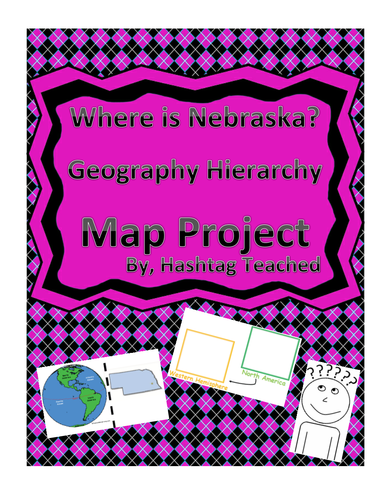
This worksheet allows students to cut out the bottom portion with the four images of Nebraska, Unites States, North America, and the Western Hemisphere and see the relationship between them. Students will then glue each image in the spaces provided on top. This easy and fun worksheet allows students to connect difficult concepts in a visual hands-on way. It can be easily adapted as independent work, a hook, group work or homework. Students will enjoy engage with this interactive project and will build conceptual understanding of geography while doing so!
This worksheet allows students to cut out the bottom portion with the four images of Texas, Unites States, North America, and the Western Hemisphere and see the relationship between them. Students will then glue each image in the spaces provided on top. This easy and fun worksheet allows students to connect difficult concepts in a visual hands-on way. It can be easily adapted as independent work, a hook, group work or homework. Students will enjoy engage with this interactive project and will build conceptual understanding of geography while doing so!
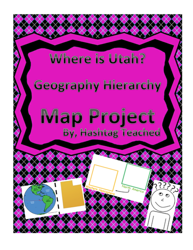
This worksheet allows students to cut out the bottom portion with the four images of Utah, Unites States, North America, and the Western Hemisphere and see the relationship between them. Students will then glue each image in the spaces provided on top. This easy and fun worksheet allows students to connect difficult concepts in a visual hands-on way. It can be easily adapted as independent work, a hook, group work or homework. Students will enjoy engage with this interactive project and will build conceptual understanding of geography while doing so!
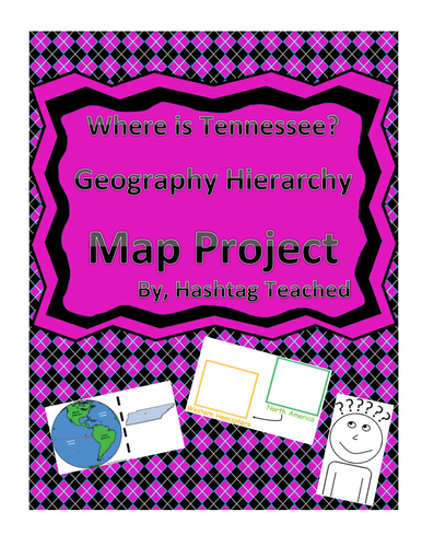
This worksheet allows students to cut out the bottom portion with the four images of Tennessee, Unites States, North America, and the Western Hemisphere and see the relationship between them. Students will then glue each image in the spaces provided on top. This easy and fun worksheet allows students to connect difficult concepts in a visual hands-on way. It can be easily adapted as independent work, a hook, group work or homework. Students will enjoy engage with this interactive project and will build conceptual understanding of geography while doing so!
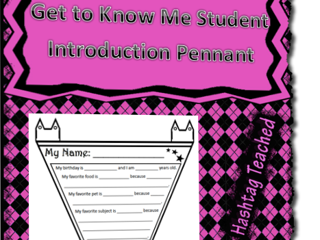
Looking to decorate your room and make it more of a welcoming environment that your students are a part of? Well check out this pennant which is meant to be cut out, strung together, and hung around a room. This highly structured template allows students to talk a bit about themselves, introduce themselves, and talk about their favorites. You can also check out my Pennant Variety Pack if you want a bit more flexibility with the design!